Forested mountains act as water towers, feeding the rivers and communities downstream. In the western United States and in many other fire-prone regions, these forests are changing quickly as wildfires become larger and more severe. A forest that burns or is thinned uses less water, but what this means for streamflow is hard to predict. It depends on climate, on how soils and vegetation recover, and on how long it has been since the disturbance.
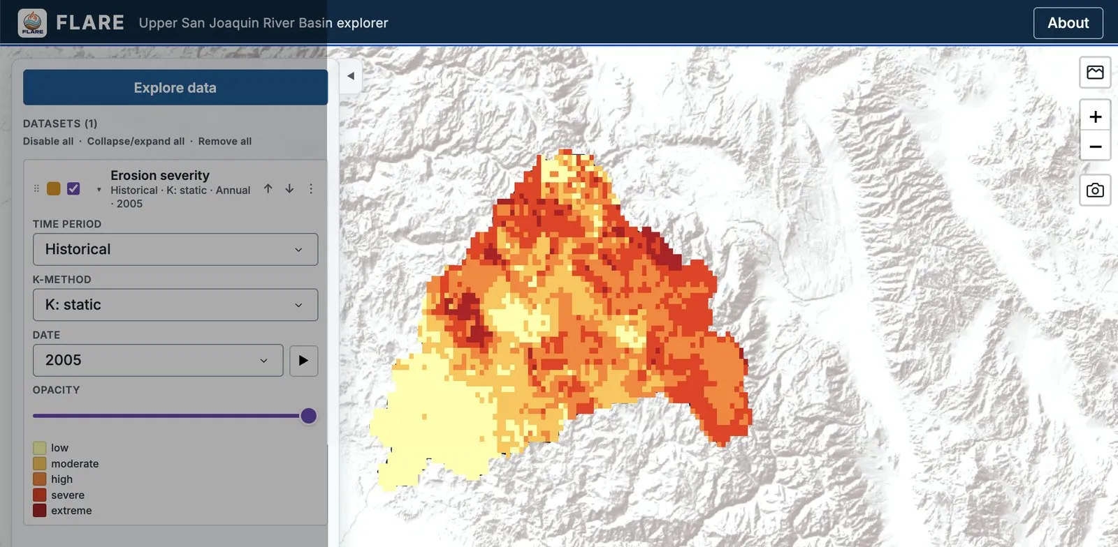
My current work examines these effects in the Sierra Nevada, whose watersheds supply a large share of California’s water. A central part of this work is understanding how changes in forest cover, from wildfire or from thinning, shift the balance between evapotranspiration and streamflow. Fire also changes the land surface in ways that last for years. Burned hillslopes, often bare and water-repellent, erode easily, and the sediment they release can degrade water quality and reduce reservoir storage downstream. To quantify these effects, I built an integrated modelling framework that couples the LANDIS-II forest landscape model, which simulates fire and vegetation change, with the VIC hydrological model and the Modified Universal Soil Loss Equation (MUSLE). The results reach managers through FLARE, a decision support dashboard for the Upper San Joaquin River Basin. Together, this work aims to help water and land managers weigh what fire and forest treatments mean for water supply, in California and in other fire-prone mountain regions.